Planning a trip to Canyonlands National Park? If you’re looking for a thrilling, off-road drive that you don’t need a permit for and that you can complete in a few hours, look no further than the Shafer Canyon and Potash Road Loop!
We did this loop in October 2024 with my parents and sister and had an absolute blast. It was fun navigating the sand, slickrock, and gravel trails and the views were unbelievable. This drive is a great way to get up close and personal with the scenery at Canyonlands National Park.
This post is the ultimate guide to driving the Shafer Canyon and Potash Road Loop in Canyonlands National Park. I’ll cover what kind of vehicle you’ll need, which direction to drive the loop, and more!
Shafer Canyon and Potash Road Overview
The Shafer Canyon and Potash Road are two roads that allow you to drive an off road loop that connects Moab to Canyonlands National Park. You’ll descend the Island in the Sky Mesa via the Shafer Canyon Switchbacks, and then loop around though the incredible scenery back to Moab.
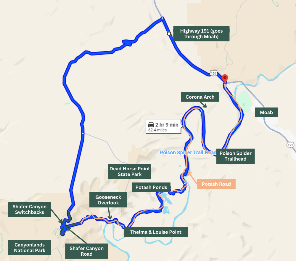
The entire loop (starting and ending from the turnoff just north of Moab) is about 63 miles. Most of the drive is paved, but about 20 miles of Potash Road and Shafer Canyon Road are unpaved and extremely rough.
Related: 15 Can’t-Miss Things to Do at Canyonlands Island in the Sky District
Vehicle Requirements to Drive the Loop
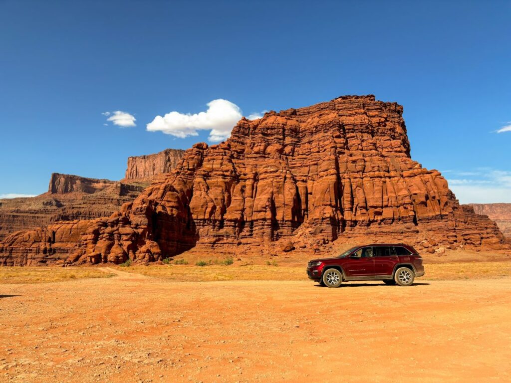
The NPS recommends a high clearance vehicle with 4WD for driving this loop. We had a Jeep Grand Cherokee with 4WD and it did just fine. We never actually had to put it in 4WD, so I think you’d be fine in an AWD SUV as well.
Potash Road is really rough in some places. There are spots of deep sand and slickrock that can be tricky to navigate. I don’t know if I would take my personal vehicle on this loop just because of the wear and tear it creates.
If you’re not comfortable driving a rental car on this loop, Canyonlands Jeep Rentals has Jeep Wranglers for daily rentals just for this purpose. There are tons of other Jeep rental companies in Moab as well.
Note: You cannot drive ATV’s on National Park land. They are allowed on Potash Road, but you will not be able to finish the loop on Shafer Canyon Road once you enter Canyonlands National Park.
Fees & Permit Information
Admission to Canyonlands National Park costs $30 per vehicle, and the pass is good for 7 days. There are no timed entry requirements for Canyonlands like its neighbor, Arches.
There are no fees or permits required to drive the Shafer Canyon-Potash Road loop, other than admission to Canyonlands National Park.
If you plan to visit 3 or more National Parks or Monuments on your trip to Utah (or within one year), getting the America the Beautiful National Park Pass will save you money vs. paying the separate fees at each park. It costs $80 and you must order ahead of time as they will ship you a physical pass.
How Long Does it Take to Drive the Shafer Canyon and Potash Road Loop?
Google Maps will tell you that it only takes a little over 2 hours to drive this loop, which is an underestimate in my opinion. It took us about 3 hours to drive Potash Road and up the Shafer Canyon Switchbacks back to Canyonlands, and then another 40 minutes to get back to Moab.
We stopped for a lot of photos, so I’m sure you could do it faster if you were in a hurry. But I’d earmark 4 hours to complete the entire loop!
Related: Top 16 Things to Do in Arches National Park
Which Way to Drive the Loop?
The Shafer Canyon and Potash Road loop can be driven in both directions. The major consideration when deciding which way to drive it is if you’d rather go up or down the Shafer Canyon switchbacks.
You’ll either start or end your drive with the switchbacks, so if you’d rather get that part out of the way at the beginning of your drive, start your drive in Canyonlands, descend the switchbacks, and then loop back to Moab. If you want to save the most thrilling part for last, start your drive on Potash Road in Moab and drive up at the switchbacks at the end of your drive.
Some people find going down the switchbacks more nerve wracking than driving up. If this is you, I’d recommend starting the drive on Potash Road and looping up the switchbacks into Canyonlands National Park.
Another consideration is the time of day you plan to do the drive. We spent the morning exploring the viewpoints at Island in the Sky and then left the park to do lunch in Moab. When we left the park, there was an hour-long line to get back in! Instead of starting the drive on the Shafer Canyon Switchbacks and having to wait in line to re-enter the park, we simply did the drive in the opposite direction.
The map below shows the route. The orange line is Potash Road and the green line is Shafer Canyon Road. I’ve annotated the map with points of interest along the way.
How to Drive Shafer Canyon and Potash Road
I am going to describe driving the loop starting in Moab via Potash Road, since that is the way we drove it. If you plan to start your drive with the Shafer Canyon Switchbacks, simply read this section in the opposite direction.
Potash Road Turnoff
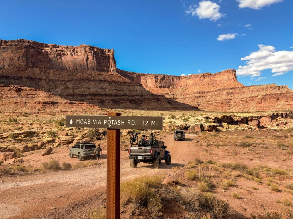
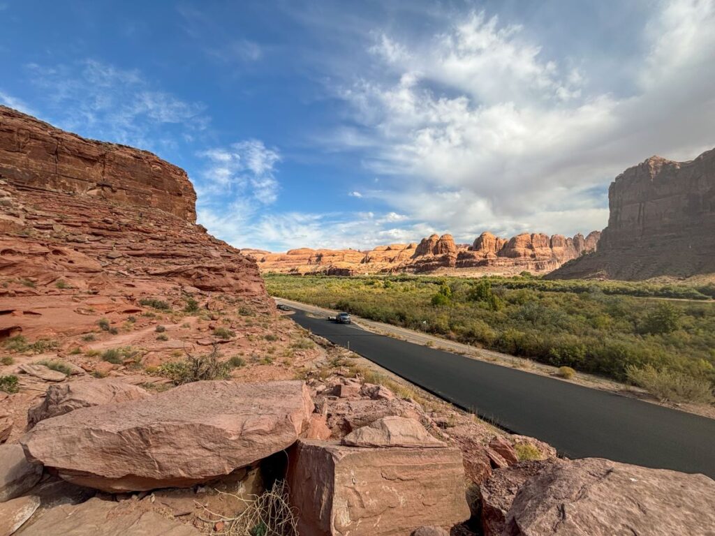
The turnoff for Potash Road is located just north of Moab off of Highway 191. You’ll wind along the Colorado River on a paved road for about 20 miles.
There are lots of campgrounds, petroglyphs, and hiking trails located off of this road.
Poison Spider Trail & Dinosaur Tracksite
You’ll soon see a turnoff for the Poison Spider Trailhead. This is a mountain bike and offroad trail on BLM land.
More interestingly, there is a short, steep hike to a dinosaur tracksite here as well. If you look closely, you can see them from the parking lot.
Corona Arch Trail
The Corona Arch Trail is also located off of Potash Road. This is a 2.3-mile, moderate, out-and-back hike to a prominent arch on BLM land. We unfortunately didn’t have time to hike this trail during our time in Moab, but the photos of it look stunning.
If you have an extra couple of hours to spare, this hike can be a great addition to your Shafer Canyon-Potash Road driving loop.
Jug Handle Arch
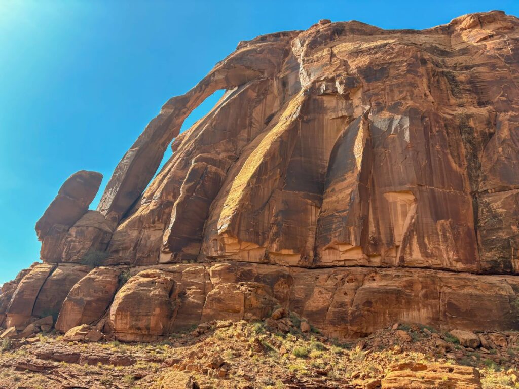
Keep your eyes peeled for a sign that says “Jug Handle Arch.” You don’t need an amazing imagination to understand why this arch got its name!
Potash Boat Ramp Junction
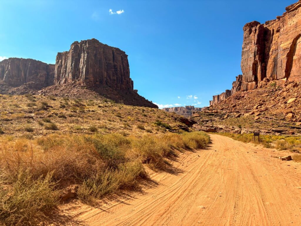
This is where the road turns to gravel and dirt. Continue straight onto Potash Road and get ready for some off-roading!
The turnoff here goes down to the Colorado River at the Potash Boat Ramp. Feel free to check it out if you want.
Potash Ponds
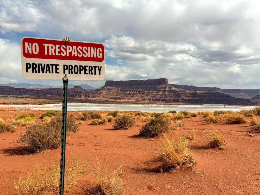
You’ll see bright blue evaporation ponds owned by Intrepid Potash. Potash is a type of salt that is commonly used in fertilizer and for manufacturing processes.
This type of mining process involves pumping river water into the mine to dissolve the potash, and then pumping the brine into the retention ponds you see here to evaporate the water off, leaving the potash salt.
The striking blue ponds contrast with the dark red rock scenery and make for great photos!
Fun fact: they dye the ponds blue so the water absorbs more sunlight to speed up evaporation.
Thelma & Louise Point
Did you know that the famous ending scene in Thelma and Louise wasn’t actually filmed at the Grand Canyon? This point along the Colorado River along Potash Road is actually where that scene was filmed!
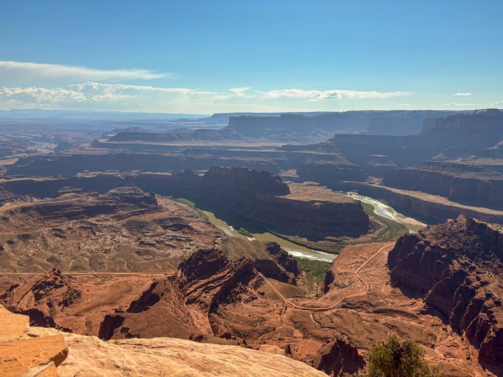
If you look up from this spot, you will see Dead Horse Point. I highly recommend visiting Dead Horse Point State Park after driving the Shafer Canyon-Potash Road loop because you will be able to look down and see exactly where you drove!
Gooseneck Overlook
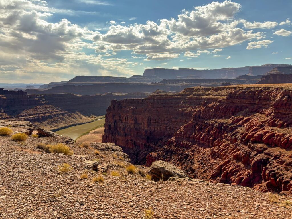
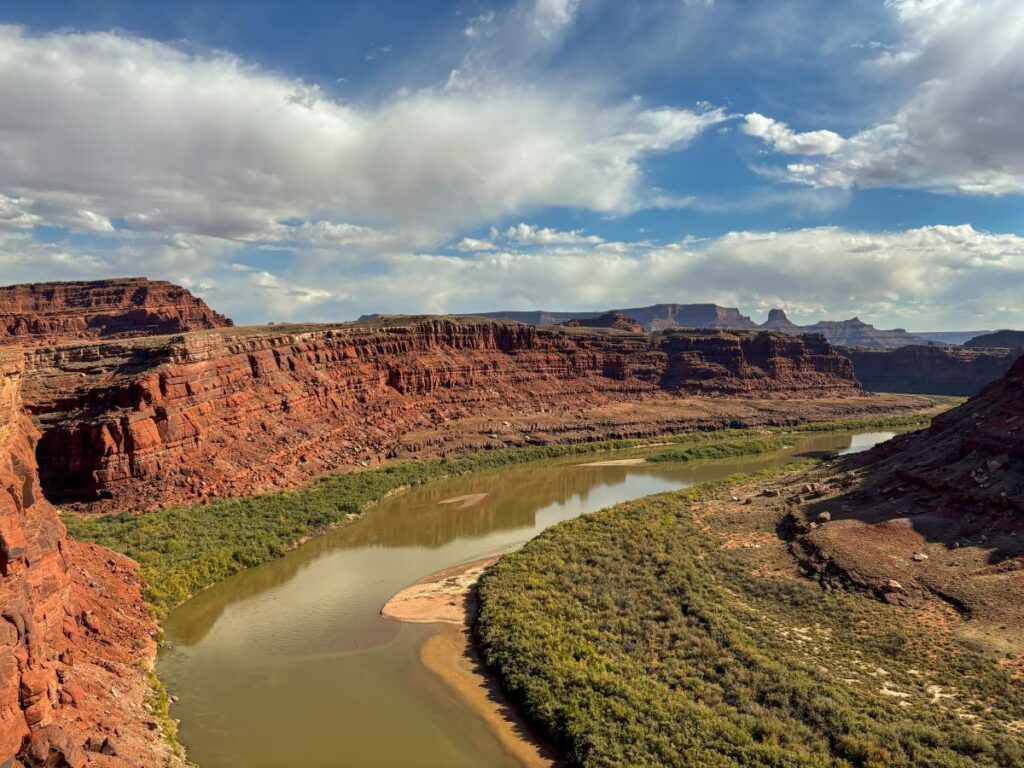
Shortly after the Thelma and Louise Point, you will reach the Gooseneck Overlook. This is a striking view of a U-shaped bend in the Colorado River.
White Rim-Shafer Canyon Junction
Congratulations, you have made it into Canyonlands National Park!
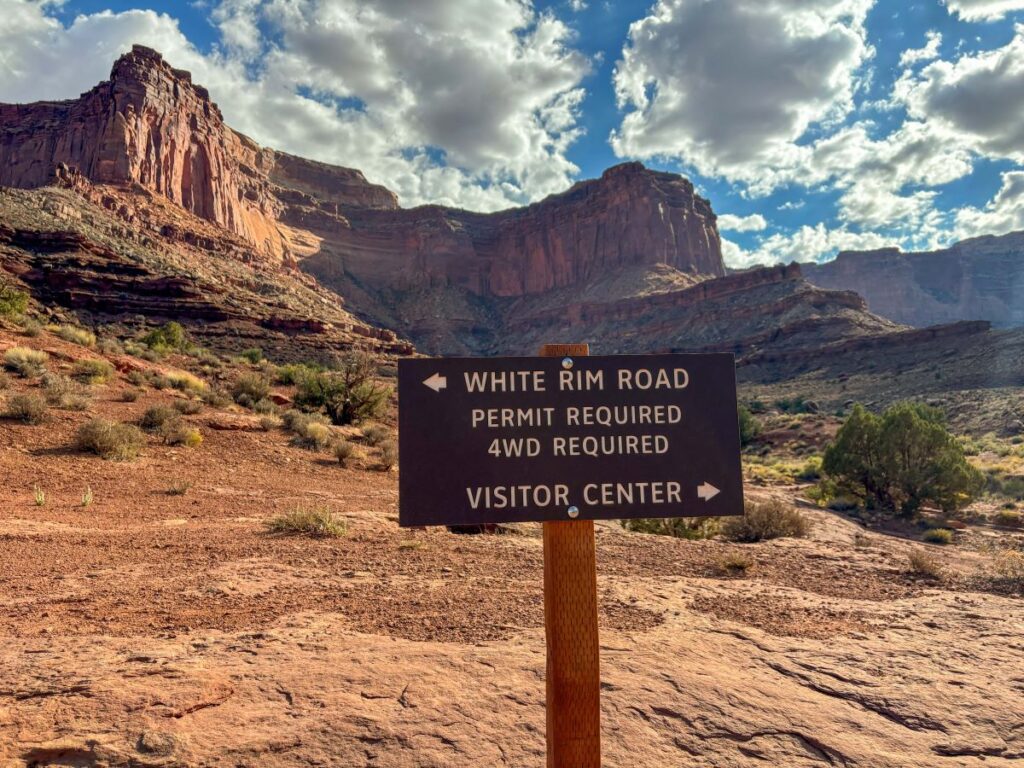
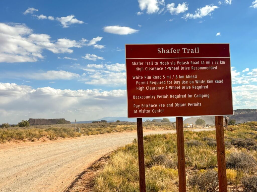
Follow the sign for the Visitor’s Center when you reach this junction. Turning the other way takes you to the White Rim Road, which you need a permit for.
Shafer Canyon Switchbacks
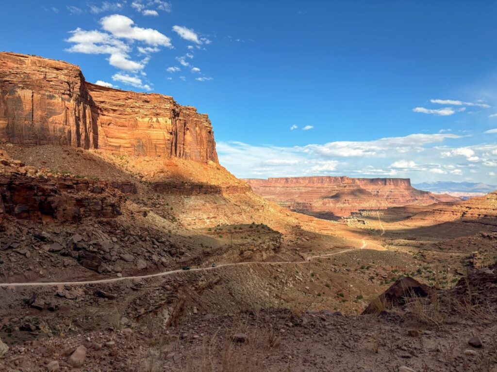
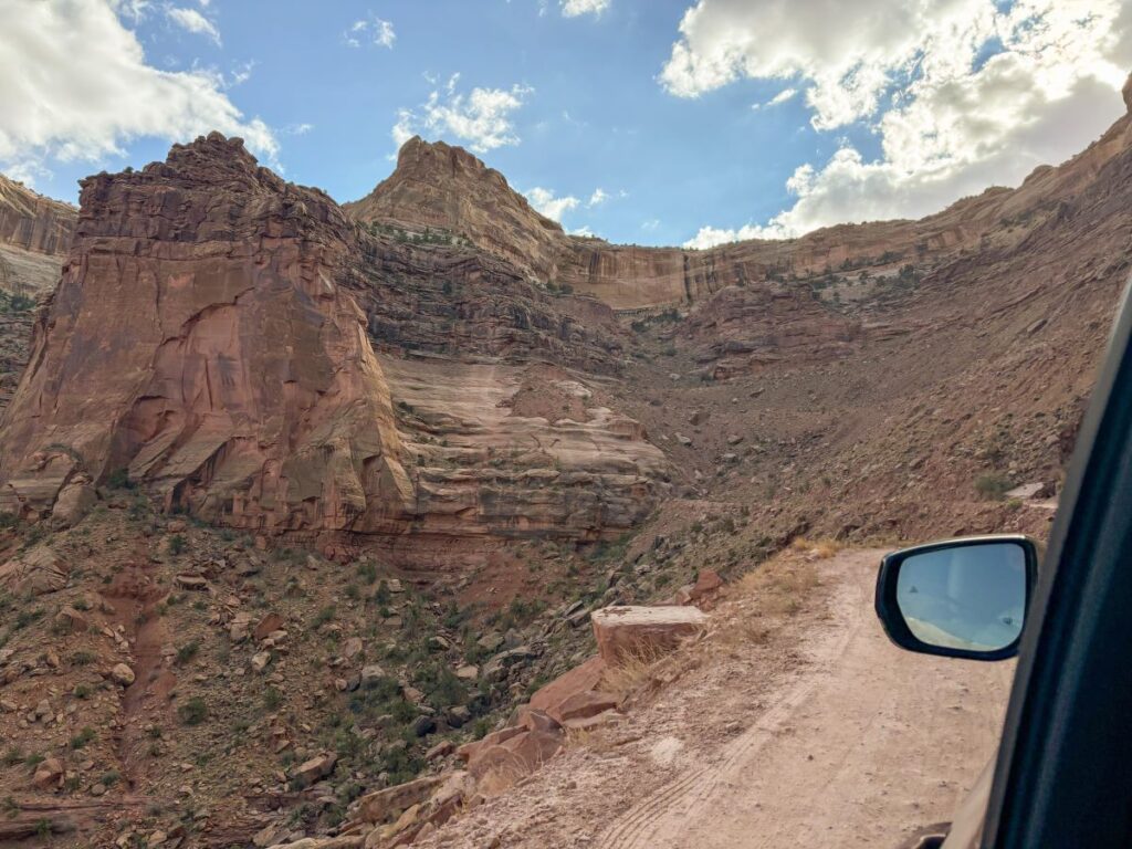
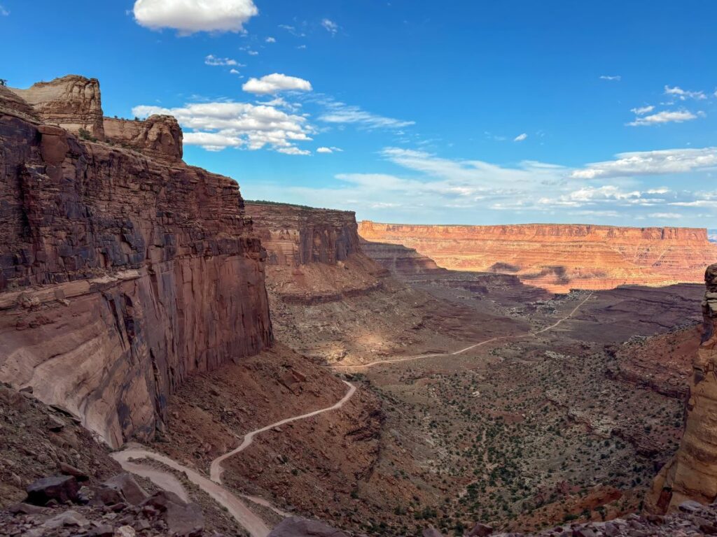
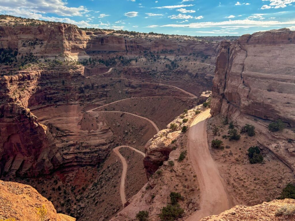
You’ll follow the dirt road around a bend and then you’ll see the Shafer Canyon Switchbacks. At this point, you have almost completed the off-road portion of the drive and all you have left is summitting the Shafer Canyon Switchbacks.
The switchbacks portion of the road was actually much wider than it looked from the viewpoint above. 2 cars can easily fit. If you are afraid of heights, just don’t look down as you make your way up!
Remember here that uphill traffic has the right-of-way. Not everyone follows this rule, so be careful on the hairpin turns.
Shafer Canyon Overlook
Once you reach the top of the switchbacks and get back onto paved roads (doesn’t that feel so nice!), make sure to stop at the Shafer Canyon Overlook.
There is a short walk out to an incredible viewpoint of where you just drove.
Shafer Trail Viewpoint
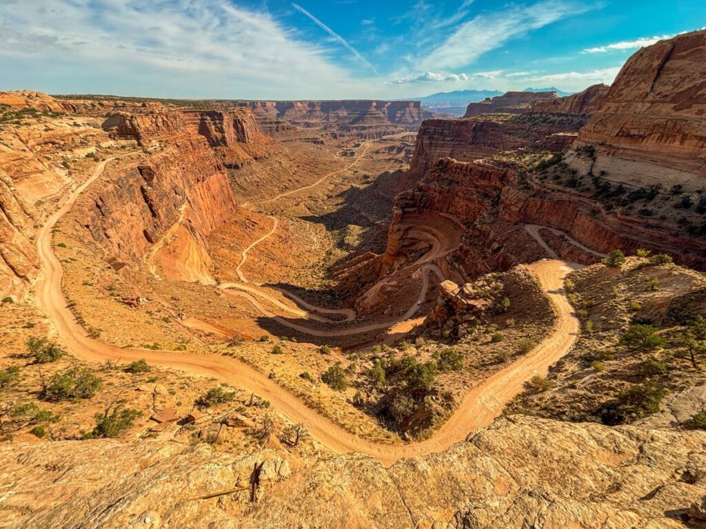
Make one more quick stop at the Shafer Trail Viewpoint before heading back to Moab. You get an awesome view of the Shafer Canyon Switchbacks from up above. Can you believe you just drove that?!
I personally liked this view better than the Shafer Canyon Overlook.
When you’re finished marveling at the view, head back to Moab via Island in the Sky Road and Highway 191.
If you still have time, you can squeeze in a visit to Dead Horse Point State Park on your way out to see the Thelma and Louise Point from a birds’ eye view. Turn right onto Highway 313 from Island in the Sky Road and it will take you right here. How cool!
Congratulations, you have completed the Shafer Canyon and Potash Road Loop!
Do you plan to drive the Shafer Canyon and Potash Road Loop on your trip to Canyonlands National Park? Let me know in the comments below!
-Megan
More on Southern Utah
MORE ON CANYONLANDS NATIONAL PARK: Continue your visit in Canyonlands by checking out the 15 best things to do in the Island in the Sky District or explore the more remote Needles District.
ARCHES NATIONAL PARK: Explore over 2000 sandstone arches in this incredible National Park that neighbors Canyonlands. Check out my guide to the best things to do in Arches National Park or the ultimate 1, 2, or 3 day Arches itinerary.
DEAD HORSE POINT STATE PARK: This state park provides an incredible panoramic vista over the Colorado River, and it’s on your way to Canyonlands Island in the Sky District.
CAPITOL REEF NATIONAL PARK: Visit Utah’s most underrated National Park located just 2 miles west of Arches. Check out my 1-4 day Capitol Reef itinerary, the top things to do in Capitol Reef, and the best hikes in Capitol Reef.
HANKSVILLE, UTAH: Hanksville is a tiny town between Capitol Reef and Moab that is near some otherworldly landscapes. Here’s how to visit Factory Butte and the Moonscape Overlook, hike to the Long Dong Silver Spire, or explore the sandstone hoodoo formations at Goblin Valley State Park.
GRAND STAIRCASE ESCALANTE NATIONAL MONUMENT: Nestled on one of the most scenic highways in the US, Grand Staircase is a massive National Monument that is home to incredible waterfalls, slot canyons, and remote outdoor adventures. It typically gets overshadowed by the Mighty 5 National Parks, but it is just as impressive.
BRYCE CANYON NATIONAL PARK: Bryce is a compact park, so you can thoroughly explore the hoodoos in just one day. This post shows you how to spend a day in Bryce Canyon National Park.
ZION NATIONAL PARK: Visit Utah’s most popular National Park. Hike the famous Angel’s Landing, the Narrows, and do the scenic drive. Zion is still on my list of parks to visit, and is currently experiencing lots of overcrowding issues. I plan to visit during the off season when we get a chance!

