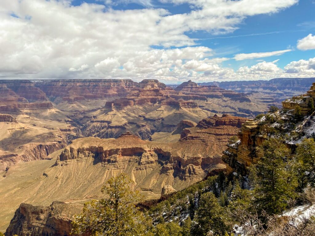
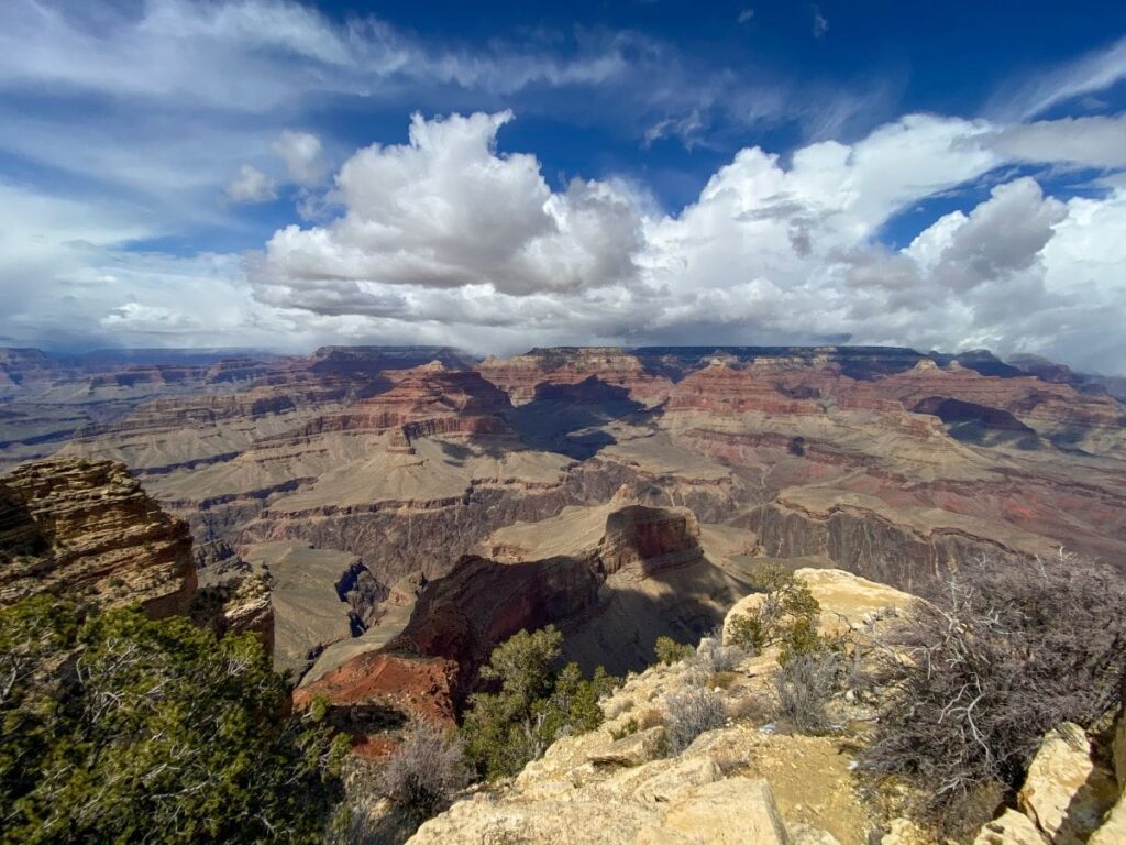
There is nothing quite like looking across the 18-mile span created by the Colorado River at the Grand Canyon South Rim. This awe-inspiring view will leave you wondering how a tiny little river created the Grand Canyon out of the Colorado Plateau.
I truly believe everyone needs to experience the Grand Canyon at least once in their life. Being one of the seven wonders of the world, this is an incredibly popular destination that takes planning to navigate well. GCNP gets between 4 and 5 million visitors a year, making it the second most visited National Park in the US (after Great Smoky Mountains).
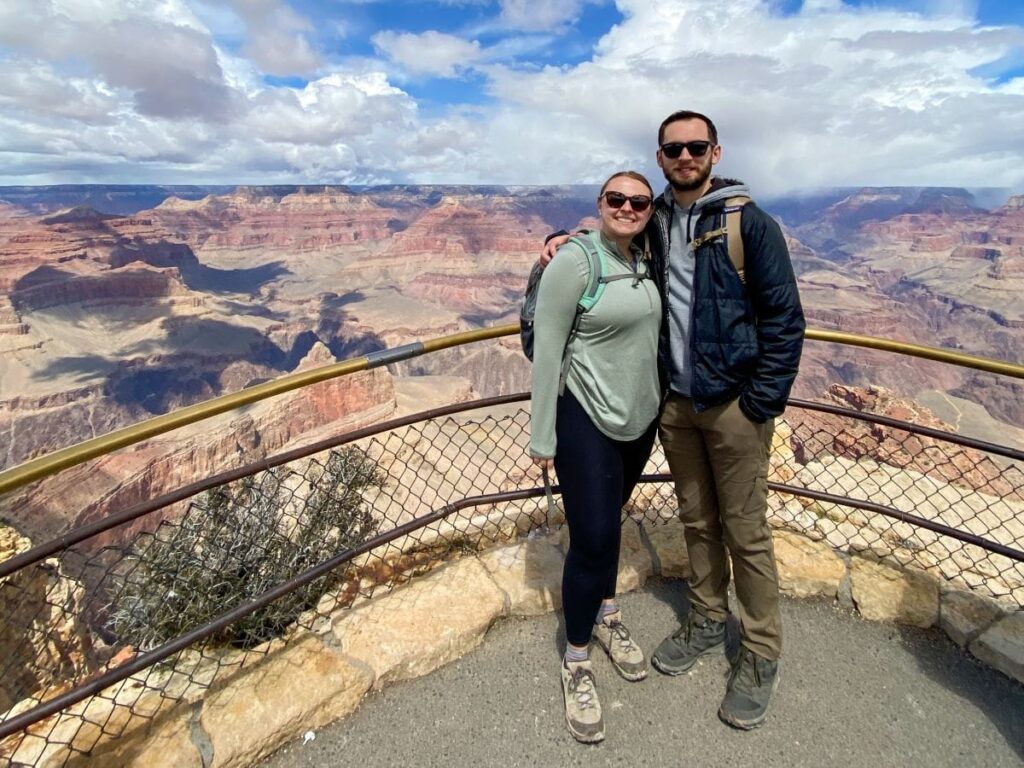
I have visited the Grand Canyon South Rim twice: once in January of 2019 and again in April of 2024. Both experiences were fantastic, and seeing the Grand Canyon in both the winter and spring seasons was absolutely worth it.
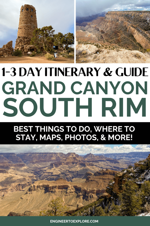
This post is your ultimate Grand Canyon South Rim itinerary and guide for 1, 2, or 3 days. Whether you have just a few hours to spend or multiple days, we’ll go over the best things to do, where to stay, how to get there, and more!
There is a ton of information in this post, so feel free to bookmark it for reference and use the table of contents to navigate to the sections that you need.
Grand Canyon South Rim Overview
Grand Canyon National Park is comprised of the North Rim and the South Rim. When you picture the Grand Canyon, you are probably thinking of the South Rim.
The South Rim sits at a lower elevation and is more populated with amenities, tours, hiking trails, and more. The North Rim closes for the winter due to snowfall and is much more remote and quiet compared to the South Rim. Despite the North and South Rims both being located within Grand Canyon National Park, it will take you 4 hours to drive between the two locations via Arizona Highway 89.
Because of this (and also because I haven’t yet visited the North Rim), this post is all about visiting the Grand Canyon South Rim.
There are 2 entrances to the Grand Canyon South Rim: the South Entrance Station located in Tusayan and Desert View Entrance Station located near Cameron. You’ll most likely enter the park via the South Entrance Station.
The South Rim is divided into 3 major zones:
Grand Canyon Village
Grand Canyon Village is the hub of the park and is home to the park headquarters, all of the park lodges, gift stores, restaurants, and more. This is also where you’ll park when you first enter the park.
Mather and Yavapai Point are located here as well.
Hermit Road
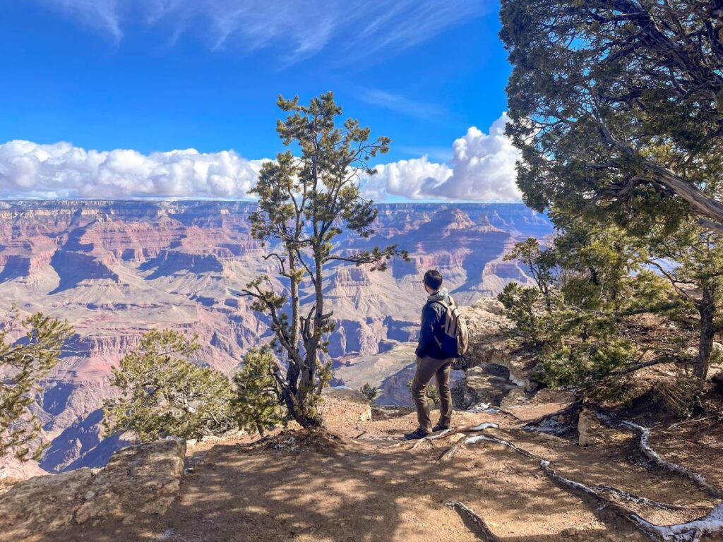
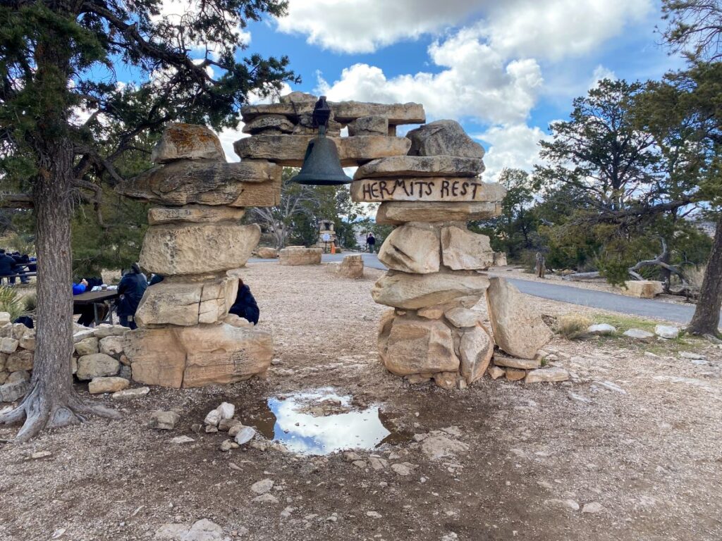
Hermit Road is a 7-mile scenic drive along the South Rim that connects Hermit’s Rest to Grand Canyon Village.
Hermit’s Rest is a rest stop that was constructed in 1914 as a last stop before travelers descended down into the Grand Canyon. There is a gift shop and snack bar located in the building.
There are multiple scenic points along the 7- mile drive:
- Trailview Overlook
- Maricopa Point
- Powell Point
- Hopi Point
- Mohave Point
- The Abyss
- Monument Creek Vista
- Pima Point
- Hermit’s Rest
In order to visit the viewpoints along Hermit Road, you have to take the park shuttle between March 1st and November 30th. During the winter, the road is open to private cars.
The Rim Trail also follows along Hermit Road, so you can hike or bike it all year as well. We did a combination of hiking and riding the shuttle during our early April visit.
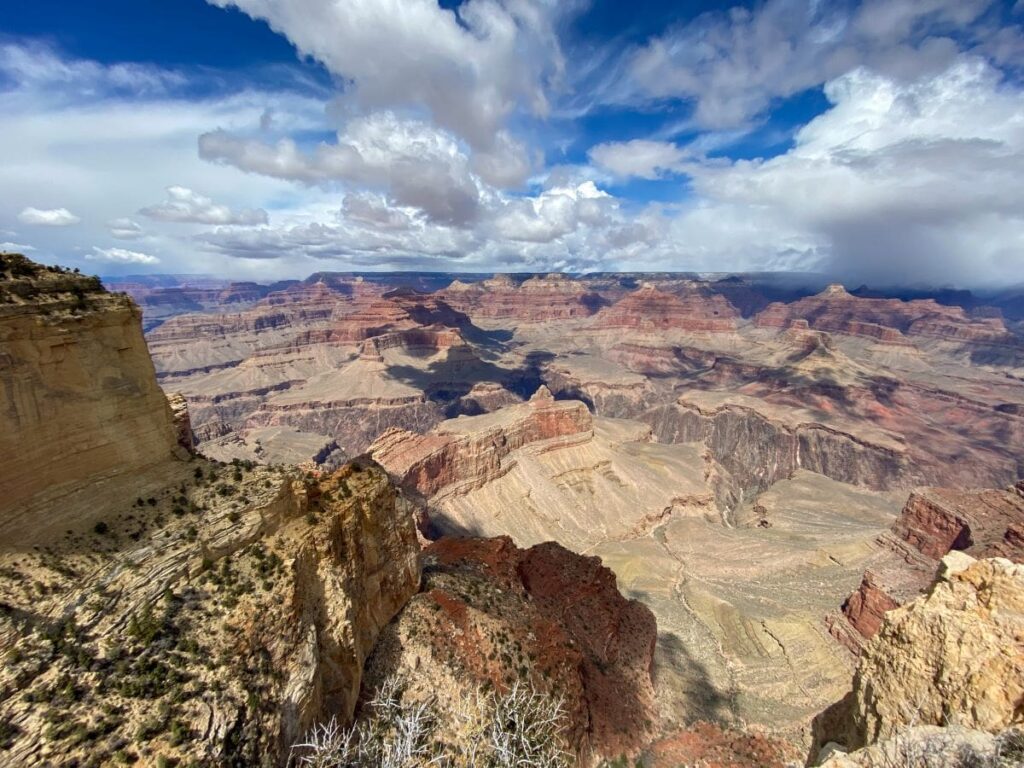
Desert View Drive
Desert View Drive is a 23-mile scenic drive located to the east of Grand Canyon Village. You can take the park shuttle to Yaki Point and the South Kaibab Trailhead, but the shuttle buses do not operate on the rest of the road, so this drive will need to be done in your personal car.
You can also exit the park at the end of this drive via the Desert View Entrance Station, so it’s a great way to end your day at the Grand Canyon South Rim.
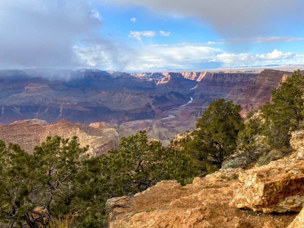
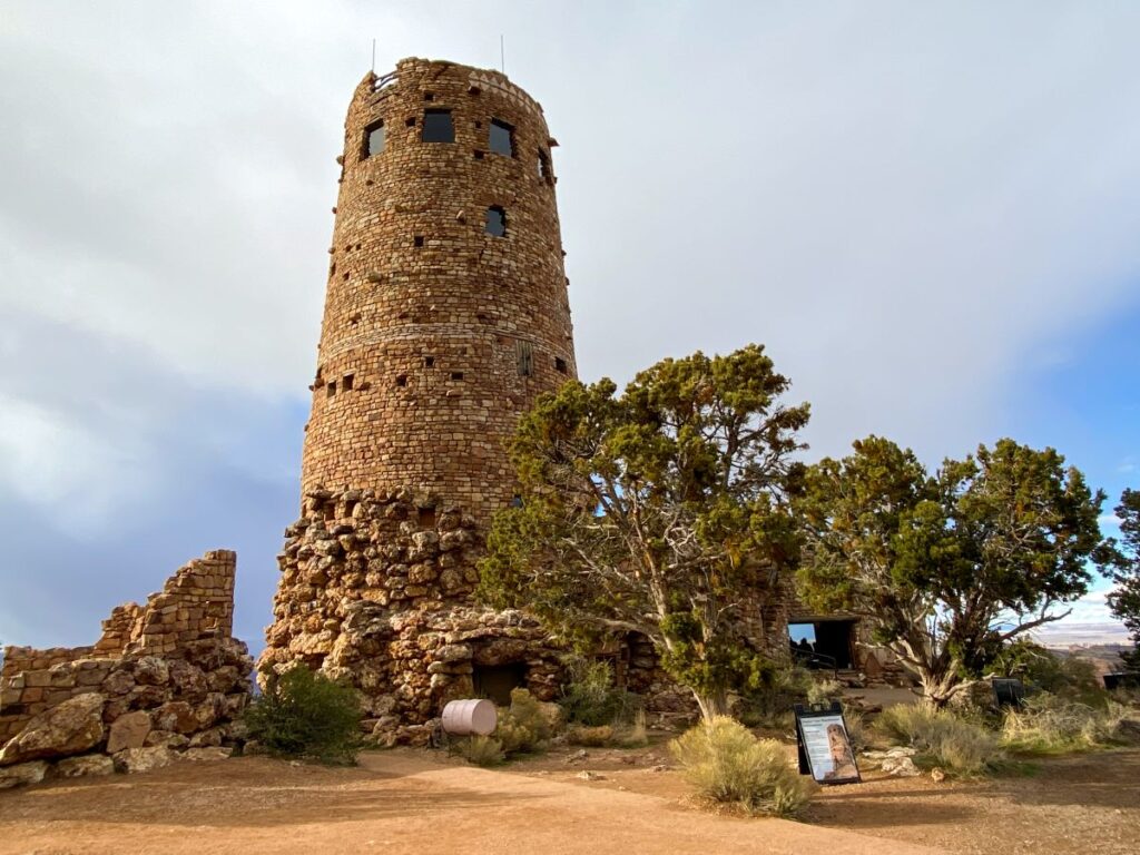
There are tons of gorgeous viewpoints along Desert View Drive, and it concludes at the Desert View Watchtower. The Desert View Watchtower and Desert View Point were my favorite viewpoints at the Grand Canyon South Rim.
You can also go up in the Desert View Watchtower. Tickets are free, first come first serve, and only 25 people at one time are allowed. More info on the Desert View Watchtower can be found on the NPS website here.
We found this area to be significantly less crowded than the other parts of Grand Canyon National Park, which was a delightful surprise to end our day.
Fees & Passes Information
It costs $35 per vehicle to enter Grand Canyon National Park and the pass is good for 7 days. It will also get you into the North Rim as well. Fees are collected at all entrance gates to the park.
If you plan to visit more than 3 National Parks or Monuments on your trip to Arizona (or within one year), getting the America the Beautiful National Park Pass will save you money vs. paying the separate fees at each park. It costs $80 and you must order ahead of time as they will ship you a physical pass.
Related: The Ultimate 9-Day Northern Arizona Road Trip Itinerary
Grand Canyon Shuttle Information
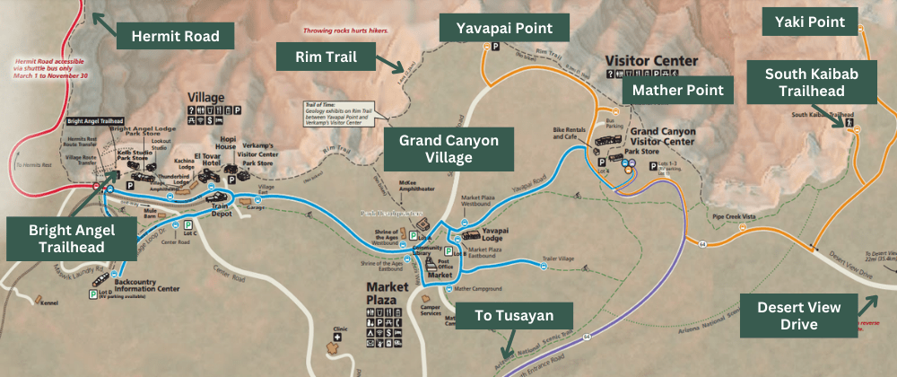
Grand Canyon National Park has instituted a shuttle system to help with parking congestion issues. There are 4 lines that take you to different areas of the South Rim:
BLUE LINE: This line takes you around Grand Canyon Village. There are some viewpoints along this route, but we found that walking the Rim Trail in this area was a better use of our time. We did use this line to connect from the Red Line to the Orange Line. This route takes 50 minutes to go point-to-point (without getting off the bus).
RED LINE: This is the Hermit’s Rest Route and takes you along the 7-mile road and stops at scenic viewpoints along the way. You must take the shuttle to this area of the park between March 1st and November 30th, as the road is closed to private cars during this time. This also means that the lines for this shuttle get quite long during peak hours. This route takes 80 minutes to go point-to-point (without getting off the bus).
ORANGE LINE: This line takes you east to Yaki Point and to the South Kaibab Trailhead. If you want to hike any portion of the South Kaibab Trail, you will have to take this line because private vehicles are not allowed in the parking lot. This route takes 50 minutes to go point-to-point (without getting off the bus).
PURPLE LINE: This line is only open in the summer and shuttles visitors from Tusayan into Grand Canyon National Park. The lines at the entrance station can get long and finding parking during peak season can be difficult, so taking the shuttle into the park might be a good idea, especially if you can’t get in until later in the day.
The shuttles are free and generally run every 10-15 minutes starting 1 hour before sunrise through 1 hour after sunset. More info on the Grand Canyon South Rim shuttles can be found on the NPS website here.
A high-level map of the area is shown below with the corresponding shuttle routes:
The Best Time to Visit the Grand Canyon
The Grand Canyon South Rim is open year-round, however, the best time to visit is in the spring or fall when temperatures are cooler and crowds are a bit lower. During the summer, temperatures can reach over 100 degrees and crowds are at their highest.
This is especially important if you plan on hiking down into the Grand Canyon, as it will be noticeably hotter the further you go. Many people have died by overexerting themselves on this strenuous hike in extreme temperatures without the proper training and supplies.
I also think that visiting the Grand Canyon in the winter is a good option as well. Yes, there is the chance of snow and it will be cold, but the crowds are much lower, lodging is cheaper, and you can take your own car to the viewpoints on Hermit Road vs. taking the park shuttle.
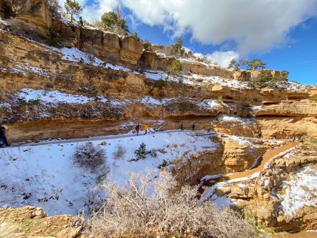
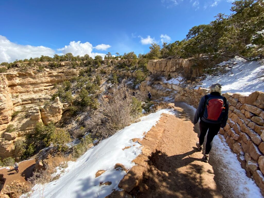
Visiting in the winter will be tricky if you plan to hike down into the canyon though, as the trails will be covered with ice in the winter so you need to be prepared with spikes and hiking poles. There can be ice on the first few miles of trails as late as May.
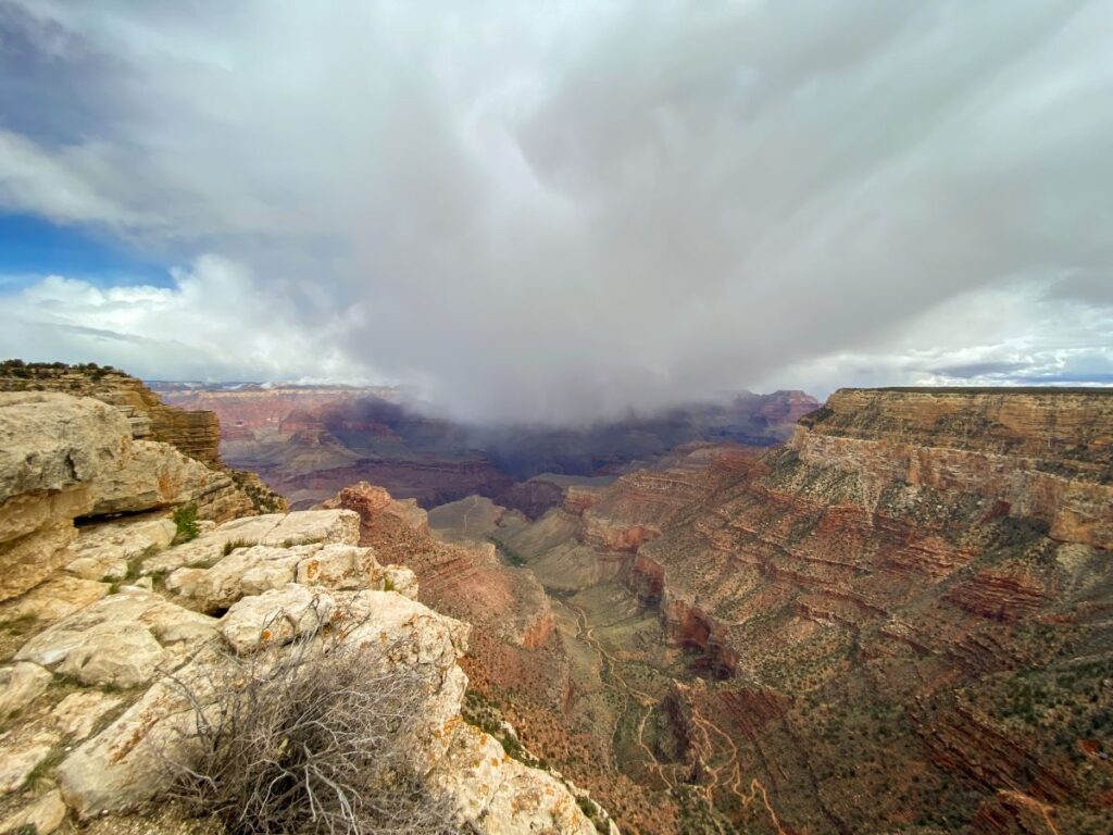
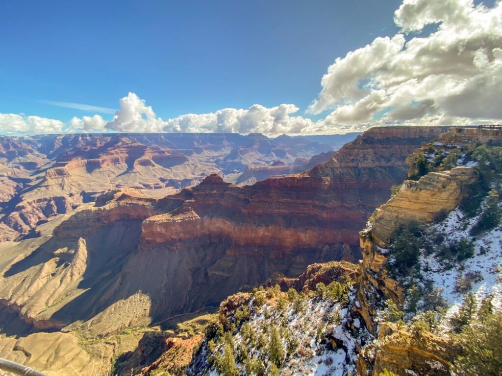
I actually visited the Grand Canyon for the first time in January, and we got lucky with amazing sunny weather! I came back at the beginning of April a few years later and it was still chilly with some residual snow and ice left on the trails down into the Grand Canyon.
Related: How to Visit the Grand Canyon in the Winter (Weather, Hiking Info, & More!)
How to Get to the Grand Canyon South Rim
The most convenient airports for getting to the Grand Canyon are Phoenix and Las Vegas. Phoenix is 3.5 hours from the South Rim and Vegas is just over 4 hours.
From Phoenix, you’ll take I-17 north to Flagstaff and then head west on I-40 until you reach Arizona Highway 64. Take this road north until you reach the Grand Canyon South Entrance Station.
From Vegas, you’ll head south on US-93 until you reach Kingman, AZ. You have 2 options from here: Historic Route 66 to Seligman until you reach I-40 (highly recommended for a fun, retro detour) or just taking I-40 the whole way (the fastest route).
Route 66 will add about 20 minutes to your drive, not including stops at some of the restaurants and shops along the way. You’ll then head north on AZ Highway 64 until you reach the Grand Canyon South Entrance Station.
Where to Stay at the Grand Canyon South Rim
The Grand Canyon has 6 in-park lodges you can stay at. While the location is super convenient (they’re right on the South Rim), these lodges can be expensive, especially in peak season.
Sometimes it’s worth paying a premium for the location during the busy seasons, especially if you want to see sunrise and sunset in the most convenient way possible. Unless you can get a deal on one of the in-park lodges (info on the park lodges here), I’d recommend staying in Tusayan.
Tusayan is just 5 minutes from Grand Canyon Village and has a good selection of hotels and restaurants.
It is also possible to do a day trip to the Grand Canyon from Flagstaff, Page, Kingman, or one of the surrounding towns. You will want to get an early start though to make up for the drive time.
I’ve visited the Grand Canyon twice, both on a day trip from Kingman and Flagstaff. It’s totally doable and worth it if you’re short on time.
Related: 12 Incredible Things to Do in Page, Arizona
Hiking into the Grand Canyon
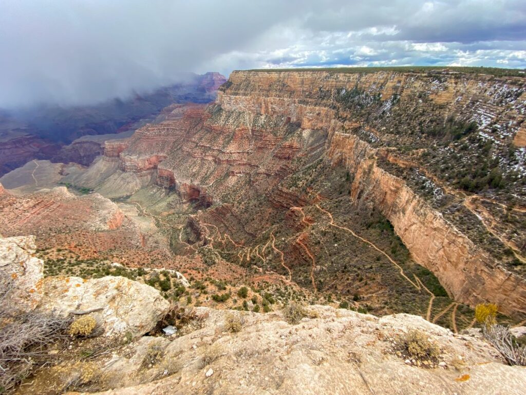
There are 2 ways to hike into the Grand Canyon: via the Bright Angel Trail and the South Kaibab Trail.
You can hike the Bright Angel and South Kaibab trails as a loop that starts and ends at the South Rim (South Kaibab down and Bright Angel up or vice versa), but this entire loop is over 16 miles and is really tough to complete in a day.
Doing a portion of one of the trails as an out-and-back hike is still strenuous, but more realistic to complete in a day. There are multiple landmarks along each trail, so you can hike as far as you’d like and then make the trek back up.
Here are the landmarks and round trip distances for landmarks on the Bright Angel Trail. The trailhead is located on the west end of Grand Canyon Village.
- 1.5 Mile Resthouse: 3 miles, 1120 feet of elevation gain
- 3 Mile Resthouse: 6 miles, 2120 feet of elevation gain
- Havasupai Garden Campground: 9 miles, 3040 feet of elevation gain
- Plateau Point: 12 miles, 3080 feet of elevation gain
And the landmarks and round trip distances along the South Kaibab Trail. This trailhead is located east of Grand Canyon Village and you must take the Orange Line shuttle route to get here, as private cars are not allowed in the parking lot.
- Ooh Aah Point: 1.8 miles, 790 feet of elevation gain
- Cedar Ridge: 3 miles, 1120 feet of elevation gain
- Skeleton Point: 6 miles, 2040 feet of elevation gain
- The Tipoff: 9 miles, 3280 feet of elevation gain
At the time of writing, the Bright Angel Trail from Plateau Point onward is temporarily closed for waterline maintenance, so check the NPS website for the most up-to-date information before planning your trip.
Both of these trails are very strenuous and involve extreme temperature changes, so make sure to assess your fitness level and consult with a park ranger before attempting these trails.
The Bright Angel Trail is slightly longer so you won’t have as extreme of an elevation gain and there are water and restrooms along this trail. South Kaibab has no water or amenities and is steeper, but the views are better.
Make sure you have crampons (if you’re hiking in the winter or spring), hiking poles, hiking shoes, and plenty of food and water if you plan to hike either of these trails!
We attempted to hike the South Kaibab Trail to Ooh Aah Point in April, but the beginning of the trail was still extremely icy and we didn’t have the gear required, so this is still on my bucket list to experience!
Grand Canyon Famous Rim to Rim Hike: 24 miles with over 5200 feet of elevation gain. This is typically done as a backpacking trip over 2-4 days. You’ll start the hike at the North Rim via the North Kaibab Trail, hike down to Phantom Ranch at the Colorado River, and then hike back up out of the canyon to the South Rim via the Bright Angel or South Kaibab Trail. This post isn’t going to get into detail about this experience, so please do your research and prepare accordingly if you are planning on the Rim-to-Rim hike.
How Many Days Do You Need at the Grand Canyon South Rim?
The number of days you need at the Grand Canyon depends on how adventurous you plan to be. If you just want to see the main viewpoints and hike a portion of the Rim Trail, one day is all you need.
If you want to hike into the canyon, attempt the Rim-to-Rim hike, go on a helicopter tour, or enjoy the viewpoints at a slower pace, 2-3 days is the perfect amount of time.
1-Day Grand Canyon South Rim Itinerary
This will be a busy day, so I recommend getting to the park no later than 8 am if possible and packing a lunch.
MORNING: HERMIT’S REST VIEWPOINTS
Start your day at the Grand Canyon South Rim by parking your car at Grand Canyon Village and heading straight to the Hermit’s Rest Red Line shuttle stop on the west end of Grand Canyon Village. You can walk the Rim Trail here or take the Blue Line Shuttle.
I know it’s tempting to want to walk along the Rim Trail behind the Visitor’s Center first thing, but trust me. Hermit Road is only accessible via shuttle most of the year and the lines for the shuttle get long midday and late in the afternoon when everyone is returning to their cars at the end of the day (we learned this the hard way). Do Hermit’s Rest first thing in the morning to avoid most of the crowds and long lines!
The shuttle will take you along the 7-mile road and stop at viewpoints along the way. The Rim Trail also runs along this road, so you can walk between some of the viewpoints or hop on and off the shuttle as you please.
MIDDAY: LUNCH & HIKE TO OOH AAH POINT OR THE RIM TRAIL
I recommend packing a lunch for this itinerary, as it is a busy day and you don’t want to get stuck waiting in line for food! Eat your lunch in your car or at one of the picnic tables in Grand Canyon Village. Explore this area of the park and take in the view from Mather and Yavapai Point and along this portion of the Rim Trail.
Next, hop on the Orange Line and head to the South Kaibab Trailhead. If you’re up for it, hike down to Ooh Aah Point for a total of 1.8 miles with 685 feet of elevation gain.
If you’re not up for hiking into the canyon, you can walk a longer portion of the Rim Trail. Head left from the Visitor’s Center to walk to the Yavapai Point Geology Museum (about 0.7 miles) or head right toward the Pipe Creek Vista. We found that going right was much less crowded than going left.
AFTERNOON: DESERT VIEW DRIVE
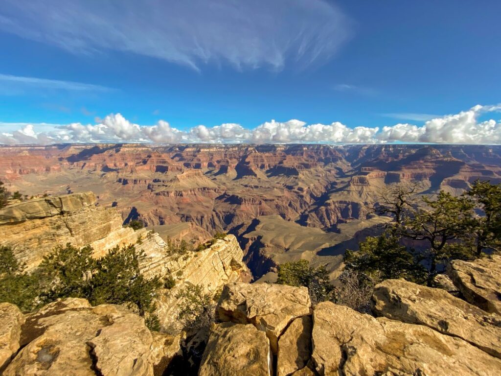
Head back to the parking lot and grab your car. While everyone else is waiting in line for the shuttle to take them back to Grand Canyon Village in the late afternoon, you’ll hopefully beat the crowds and be in your car by that time.
Head east and drive down the 23-mile Desert View Drive until you reach the Desert View Watchtower. There are a few scenic points along the drive that you can stop at if you still have energy.
If you make it here before the Desert View Watchtower closes, feel free to take in the view from the tower. Tickets are free, first come first serve, and only 25 people at one time are allowed so the line can get long. More info on the Desert View Watchtower can be found on the NPS website here.
EVENING: SUNSET AND/OR RETURN TO YOUR ACCOMMODATIONS
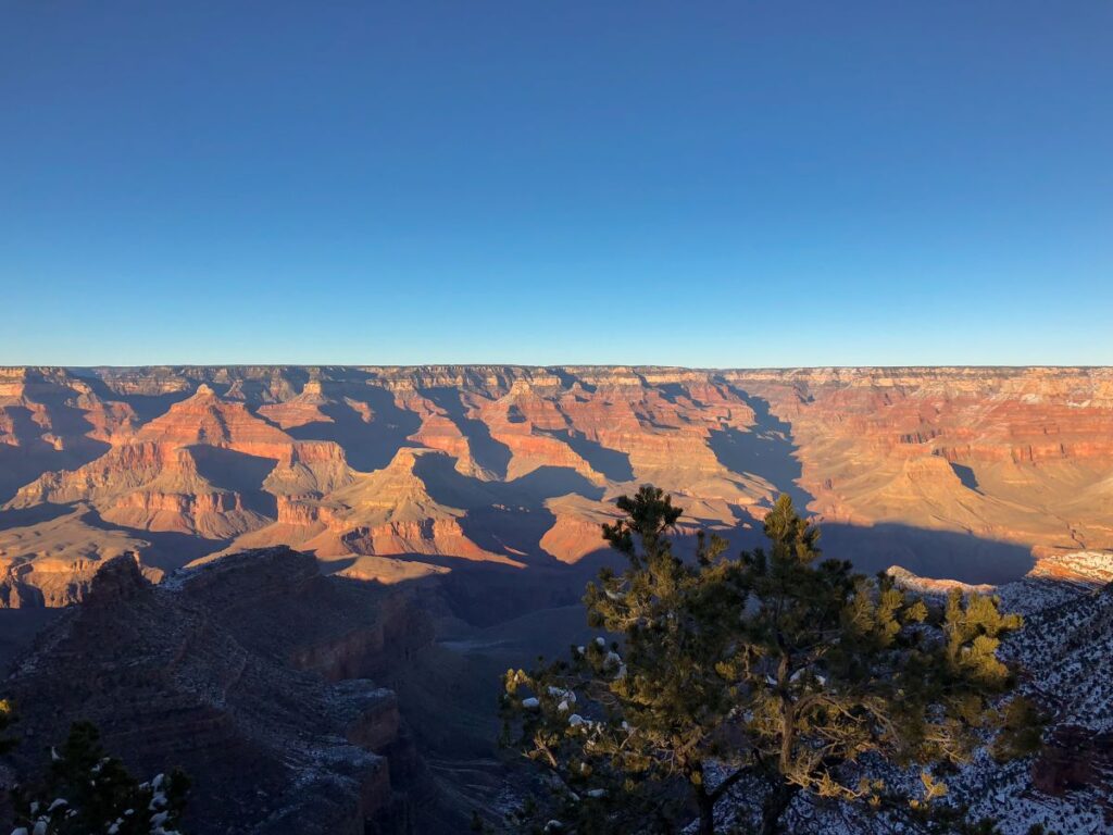
If you are spending the night nearby or in the park, grab dinner in Grand Canyon Village and then scope out a nice spot along the South Rim to watch the sunset.
If you’re staying further away, it’s probably time to get on the road to your next destination. It’s up to you if you want to stay for sunset and drive back in the dark!
2-Day Grand Canyon South Rim Itinerary
Spending 2 days at the Grand Canyon will allow you to see a sunrise and explore the South Rim at a more leisurely pace. You’ll also get the opportunity to hike further into the Grand Canyon via the South Kaibab Trail.
Day 1: Hermit’s Rest Viewpoints & Grand Canyon Village
Most of this itinerary is the same as the 1-day Grand Canyon South Rim itinerary listed above, but I’ve briefly recapped it here for you below.
MORNING
- Visit the viewpoints on Hermit’s Rest Road via shuttle and/or hiking (or via your personal car if you’re visiting in the winter)
MIDDAY & AFTERNOON
- Lunch and visit Mather Point, Yavapai Point, the Visitor’s Center, and other viewpoints near Grand Canyon Village
- Hike portions of the Rim Trail near here if desired
EVENING
- Relax in your accommodations and/or watch the sunset from the South Rim
Day 2: Day Hike into the Canyon & Desert View Drive
MORNING & MIDDAY
If you’re up for an early morning, catch the sunrise on the South Rim before starting your day. Any point on the rim makes for a beautiful sunrise.
After sunrise, decide between spending the morning hiking a portion of the Bright Angel or South Kaibab Trail into the canyon. Both make for a great day hike, but I personally prefer the South Kaibab Trail since the views are a little more scenic.
If you want to hike the South Kaibab Trail, head for the Orange Line shuttle and take it to Yaki Point (you don’t want to miss this scenic viewpoint on the way!) and then to the South Kaibab Trailhead. You can hike to Ooh Aah Point, Cedar Ridge, or Skeleton Point realistically in one day.
If you want to hike the Bright Angel Trail, take the blue line to the Bright Angel Trailhead. The 1.5 mile and 3.5 mile rest houses are both doable as a day hike.
AFTERNOON
Head back to your car and do the Desert View Scenic Drive. After visiting the Desert View Watchtower, exit the park and head for your next destination.
3-Day Grand Canyon South Rim Itinerary
This 3-day Grand Canyon South Rim itinerary is the same as the 2-day itinerary for the first 2 days.
I’ve briefly recapped days one and two below, but the previous section has more details.
Day 1: Hermit’s Rest Viewpoints & Grand Canyon Village
MORNING
- Hermit’s Rest Viewpoints via shuttle and/or hike
MIDDAY & AFTERNOON
- Lunch
- Grand Canyon Village Viewpoints (Mather and Yavapai Point)
- Hike a portion of the Rim Trail
EVENING
- Relax and watch the sunset
Day 2: Day Hike into the Canyon & Desert View Drive
MORNING
- Watch the sunrise
- Day hike via the Bright Angel or South Kaibab Trail
AFTERNOON
- Lunch
- Desert View Drive
EVENING
- Relax and watch the sunset
Day 3: Helicopter Tour
On day 3 of your Grand Canyon itinerary, choose a helicopter tour for jaw-dropping views over the canyon from above.
Departing from the South Rim, there are a couple of tour companies to choose from: Maverick and Papillion. All tours from the South Rim depart from the Grand Canyon National Park Airport located in Tusayan.
Check out tours with Maverick here and Papillion here.
This experience is still on my bucket list. It can be expensive, but I definitely think it’s worth it if you have the extra time.
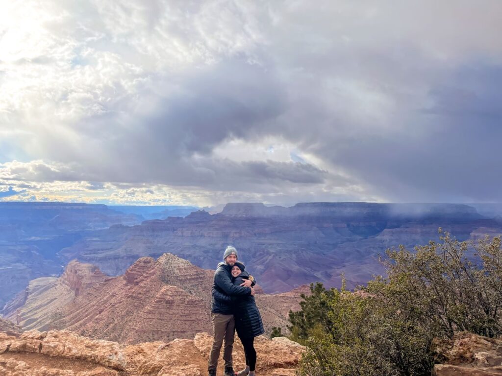
I hope this guide and Grand Canyon South Rim itinerary was helpful! Whether you have just a few hours or multiple days to experience this incredible geologic wonder, I hope you have an amazing trip.
Feel free to leave any questions in the comments below and I’ll get back to you!
-Megan
More Information on Arizona
ARIZONA ROAD TRIP: This 9-day northern Arizona road trip that starts and ends in Phoenix takes you to Sedona, The Grand Canyon, Petrified Forest National Park, Flagstaff, Monument Valley, Antelope Canyon, Horseshoe Bend, and more!
FLAGSTAFF, AZ: Located in the heart of northern Arizona, Flagstaff is a neat little town that makes a great home base for exploring the nearby attractions such as the Grand Canyon. There are 3 incredible National Monuments within an hour drive, Lowell Observatory, and plenty of other things to do. Make sure to check out the brewery trail while you’re in town!
SEDONA, AZ: Sedona has some of the best hiking trails I’ve ever seen. It makes a great stop on your way to or from the Phoenix airport or a day trip from Flagstaff. Check out my list of the top 10 hikes in Sedona to inspire your visit, hike the Devil’s Bridge Trail or the Bell Rock and Courthouse Butte Loop.
PAGE, AZ: Page makes a perfect long weekend destination and is packed with famous attractions like Horseshoe Bend, Antelope Canyon, Lake Powell, and more. Check out the top 12 things to do in Page to help you plan your visit!
PETRIFIED FOREST NATIONAL PARK: Petrified Forest is a highly underrated National Park that you can visit in one day with fascinating geology and unreal scenery. It’s a 3-hour drive from the Grand Canyon and makes a great road trip stop. Check out my guide to Petrified Forest here.
SAGUARO NATIONAL PARK: Located in Tucson, walk among the nation’s largest cacti. It is a 5 hour drive south from the Grand Canyon.
MONUMENT VALLEY: Incredible scenic drive full of sandstone buttes where many famous movies were filmed. It’s located 3 hours northeast of the South Rim and will be on your way to Moab, Utah. Check out my guide to Monument Valley for more details on how to visit!


